
Florence Trail System Map
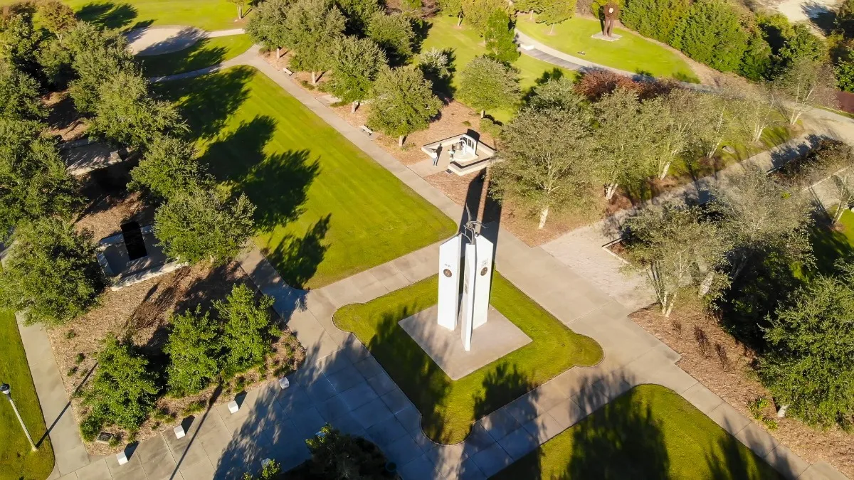
A common thread to the human experience is the search for beauty and opportunities to find tranquility and respite from the complications of life. Aldo Leopold, a leading conservationist from 1920 - 1950, looked to these basic needs and defined conservation as a way of life in which land does well for its inhabitants, citizens do well by their land, and both end up better by reason of partnership. Recognizing the importance of partnerships and greenway development, the Florence City Council in 2004, with support of the Parks, Beautification and Leisure Services Commission, established a vision that provides for the protection of natural corridors and open space within the urbanized area of the City of Florence. This green space was to follow natural land or water features and link natural areas, parks, cultural features and historic sites with each other for the purposes of conservation, recreation and alternative transportation.
The trail system further provides citizens the opportunity to access environmentally-sensitive land; to better understand water quality issues relative to stormwater; to sense the importance and joy of a healthy urban forest; and to connect to a revitalizing downtown, our culture, our history and our neighbors.
Nearby Places to Explore














Nearby Events





















Services
Amenities
Accessibility
Location & Map
Find this place on Google Maps and get turn-by-turn directions before you go.

Google Reviews
 Steven Jang
This is where you can see the florence trail system map. The florence trail system was awesome and clean. I really appreciate and just move here last year and find these amazing trails inside the florence city.
Oct 24, 2023 · Google Review